(1)")


")

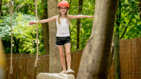
Discover Adventure
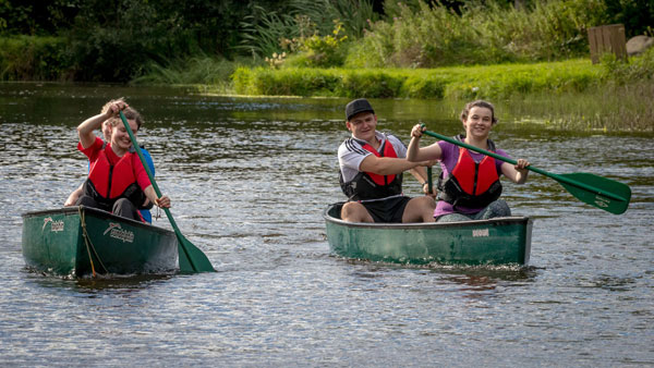
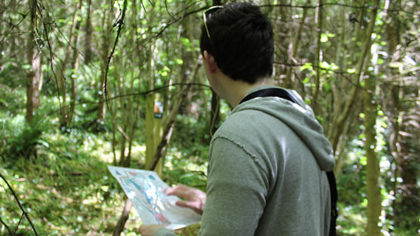
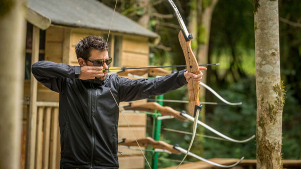
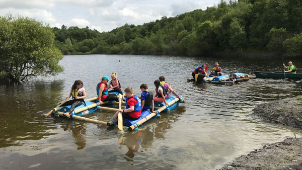
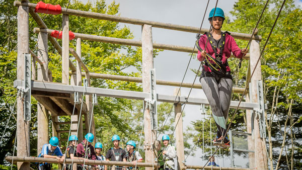
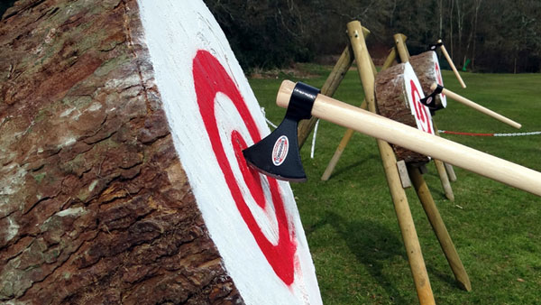
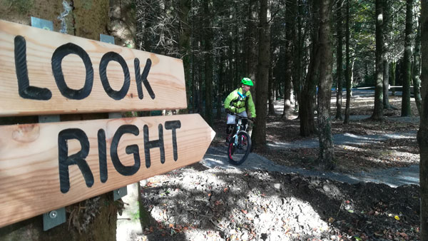
At Castlecomer Discovery Park we offer a wide range of fun, challenging and exhilarating activities that can be enjoyed on your own, as a couple, together as a family or as a group of friends, colleagues, teammates, classmates or scouts group etc
View our Adventure Activities

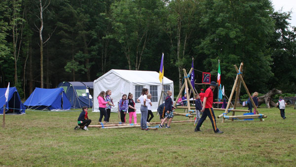
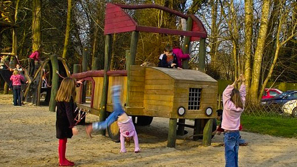
Discover & Play
At Castlecomer Discovery Park we are passionate about children getting out into the open, ditching the screens in exchange for exercise and adventure play. Our activities contribute to the positive physical and mental development of young children.
View our Discover & Play Activities

Discover Education
We believe we have a great story to tell & we’re enthusiastic about sharing our world with you. Our education programmes are fresh, innovative, exciting and strive to make learning fun for all.
Schools Adventure & Learning Activities

Seasonal Events
We have a range of seasonal activities that respond to natures changing backdrop in park, whether that is our famous woodland Santa Experience, or our spooky Halloween events. We endeavour to keep a lively and fresh programme of events to encourage people to visit us.
View our Latest News & Events


Adventure Activities at Castlecomer Discovery Park


Discover & Play at Castlecomer Discovery Park
We are a Not for Profit Social Enterprise!
Castlecomer Discovery Park: About Us
Castlecomer Discovery Park is a Social Community Enterprise operating on a Not for Profit basis.
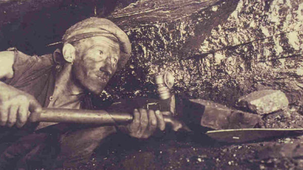
Set in the former grounds of the Wandesforde Estate, Castlecomer Discovery Park comprises 80 acres of stunning natural woodland and lakes and began as a community project to rejuvenate the town of Castlecomer following the closure of the coal mines in 1969.
This relatively ‘young’ park opened to the public in 2007 with the launch of the Coal Mining Exhibition, Visitor Centre and Design Craft studios which are located in the former stable yard. The Park continues to evolve and is actively developing a range of exciting recreational, cultural and educational activities for visitors of all ages.